Tiritiri Matangi
|
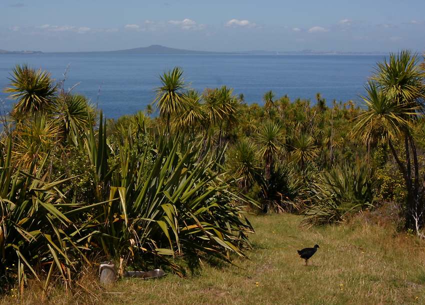
Here's one of the island's inhabitants, a pukeko, which is pretty much the same species as the purple swamp hens or purple gallinules found outside New Zealand. The angular mountain on the horizon is Rangitoto, a volcano sitting in Auckland's Waitemata harbour - on the right of Rangitoto is Auckland itself. |
 |
|
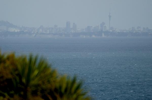
Downtown Auckland is only 30 kilometers away, so it's easy to take a ferry across for a day trip. The tall structure in this photo is the Skytower, the highest structure in the southern hemisphere. |
 |
|
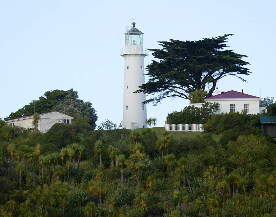
Here's the lighthouse, and to the right is the old keepers' house. Just out of the shot on the right is a second identical house which is where researchers and overnight visitors like myself stay. |
 |
|
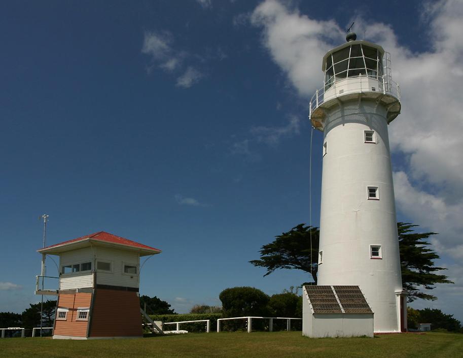
The 21 meter high lighthouse is one of New Zealand's oldest, built in 1864 from cast iron sections manufactured in England. British rule in New Zealand was only established in 1840, so for such a young country this is ancient history! |
 |
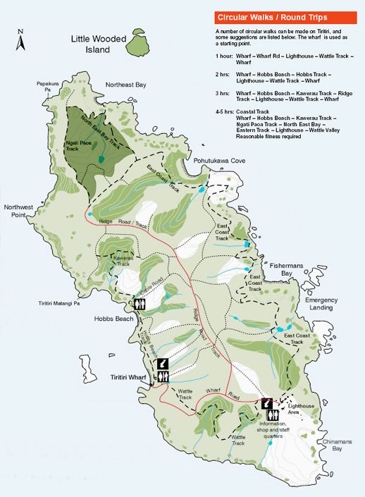 |
The wharf and lighthouse can be seen at the south end of this map of the island. As you can see from the times in the top right-hand corner, it takes a fair while to walk right around the island, especially if you're stopping to watch birds! The remainder of the photos on this page are views of the coast, and are arranged as if you were walking around the coast of the island counter-clockwise, starting at the lighthouse. |
|
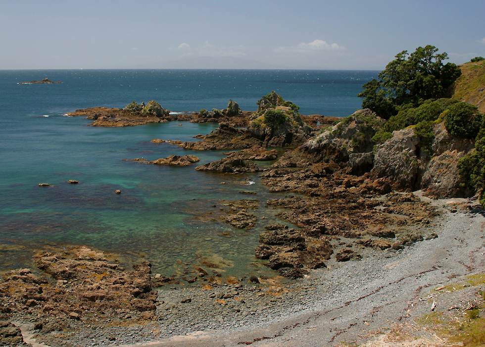
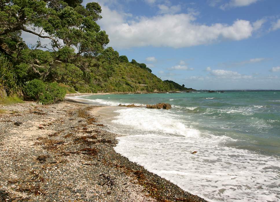
This picturesque spot is at the south end of Fisherman's Bay. There are supposed to be some rock arches on the coast just north of the bay, but I couldn't figure out a way to get to them. |
 |
|
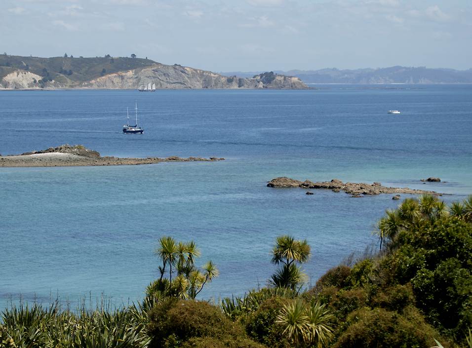
There are quite a few other nice places on the east and north of the island, but there isn't enough space to show them, so we'll jump straight to this spot at the bottom of the cable road on the west coast. |
 |
|
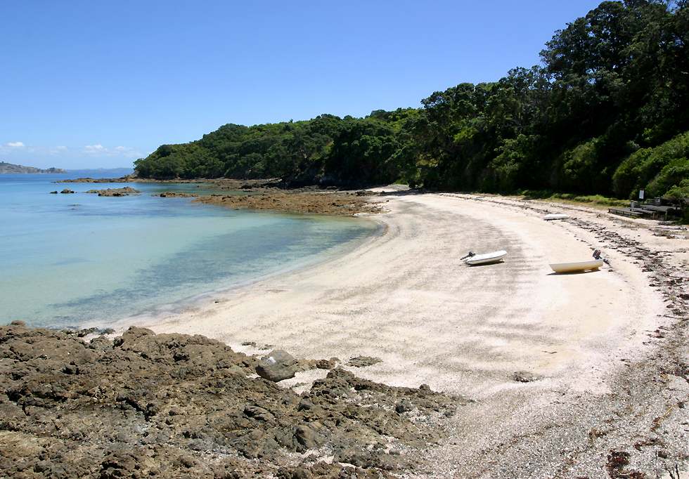
This is Hobb's beach, which is the sandiest on the island. This is near the place where I saw New Zealand's national bird, the nocturnal kiwi, one of several rare bird species on Tiritiri Matangi. |
 |
|
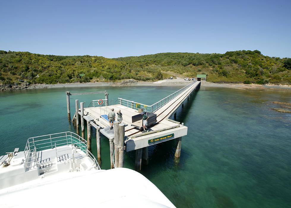
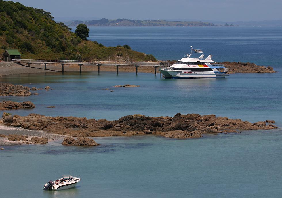
Here's the wharf and ferry again! |
 |