Highlights of Cambodia
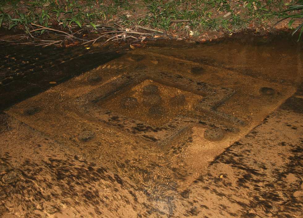
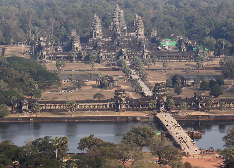
Almost everyone who travels to Cambodia will see Angkor Wat and some of the temples and other buildings in Angkor Thom. Many will also see the small temple complex of Banteay Srei, about 20 kilometers from Angkor Thom, but far fewer will go the 18 kilometers from Banteay Srei to Kbal Spean, "the river of 1000 lingas". As well as the distance from Siem Reap, it's not too well sign-posted for those travelling under their own steam, and it's a 1.5 kilometer uphill walk from the parking area to the carvings. Kbal Spean and nearby Phnom Kulen are of great spiritual significance to Cambodians. The water flowing down the river at Kbal Spean passes over hundreds of "linga", or cylindrical symbols representing the Hindu god Shiva. Although widely regarded in the western world as phallic symbols, Hindus don't think of them that way, however the square yoni symbol you see here, surrounding by broken-off linga, is more clearly a female symbol, the word itself meaning "womb" or "vagina". From a spiritual point of view, the water flowing over the linga and yoni symbols carved into the riverbed is said to sanctify the river, which then flows into Tonle Sap and from there into the Mekong river. Since this lake and the Mekong are so central to life in Cambodia, the water from Kbal Spean provides spiritual power to the whole country. |
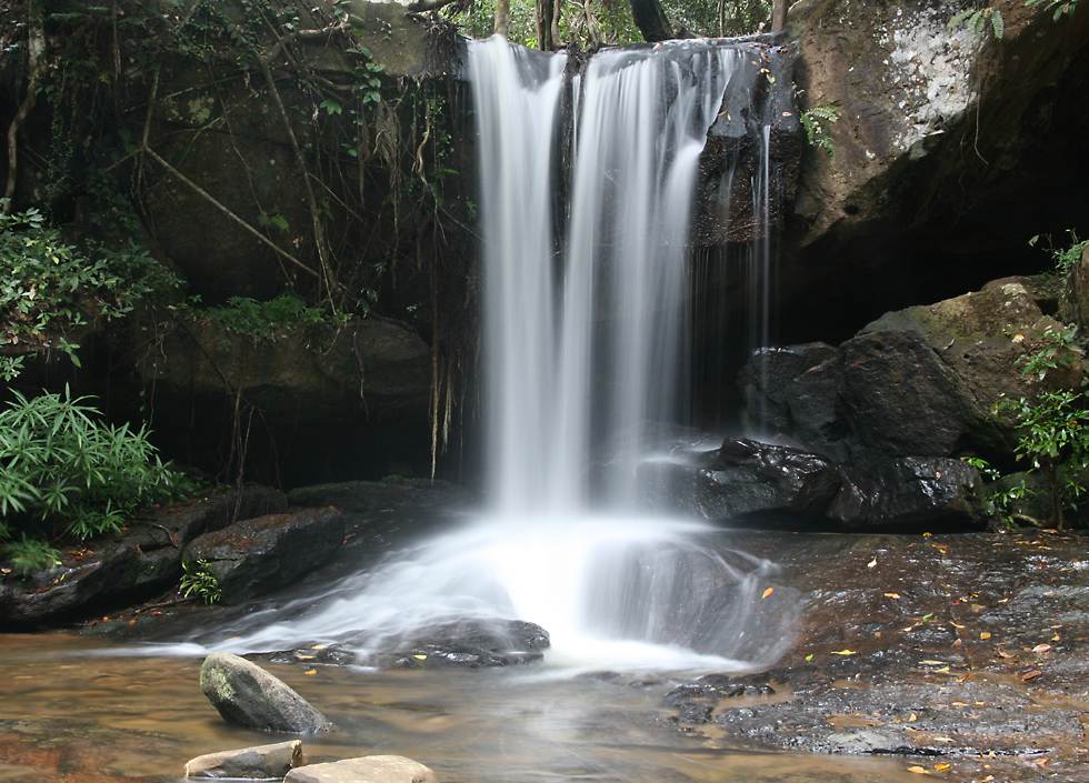
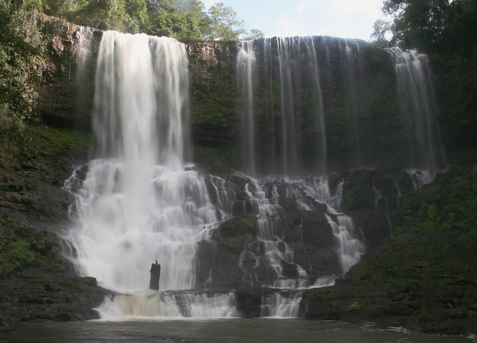
It didn't rain during my time in Cambodia, but there was still enough water flowing out of the hills to fill the rivers and waterfalls, this one being very near the carvings in the previous photo. |
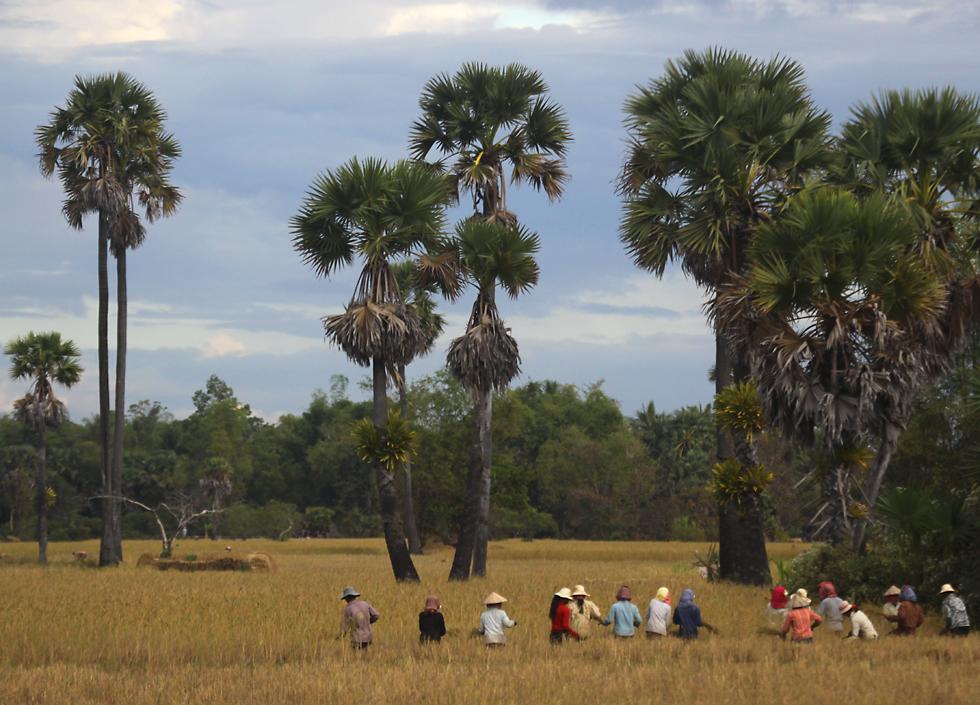
Central Cambodia is flat, but the rice paddies and characteristic sugar palms still provide plenty of interesting views. The sugar palm or toddy palm is as much an icon as Angkor Wat, though it's not totally unique to Cambodia, since it's also grown to a lesser degree in other parts of Asia. As well as having an attractive appearance, it's also very useful - the Tamils in India call it the "celestial tree" because every part has value. Not only is the timber durable, but the leaves can be used for thatching, weaving and even as a writing material. The fruit, which comes in a 10 or 20 centimeter diameter husk, has a mild flavor, though I've only tasted it canned with sugar syrup. Before the fruit forms, a sap called toddy can be obtained from the flower stalks, and this sap can be boiled down to sugar, or fermented to make the famous arrack liquor. The palm trees you see here in a rice paddy near Siem Reap have epiphytes growing on their trunks, these epiphytes are probably not parasitic but just using their host tree for support. |
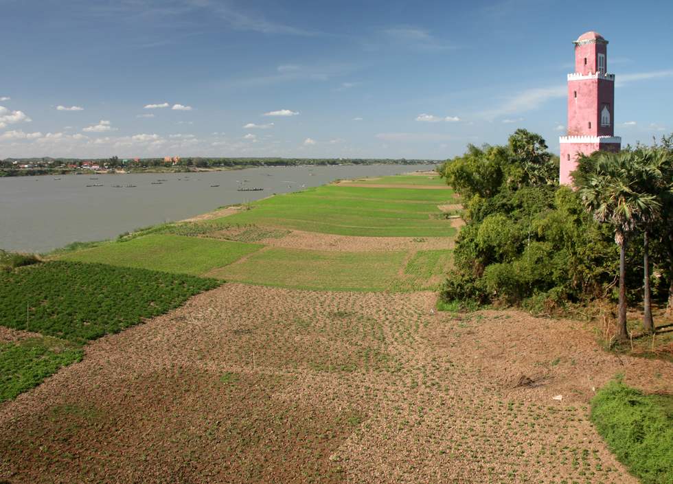
I'd spent about a week in Siem Reap, waiting for the overcast skies to clear so I could get some decent photos, but when that didn't happen I headed east and of course that's when the blue skies made their appearance! This is the Mekong river at the town of Kompong Cham. The Cham people are depicted in many reliefs at Angkor, where they are portrayed as coarse and oafish. That's because they were a rival kingdom based in what is now Vietnam; you can still see some of the famed Cham towers in Vietnam, but the tower you see here was built by their descendants, who now comprise a significant muslim minority in Cambodia. Severely persecuted under the Khmer Rouge, there are now mosques both in the countryside and in the cities and if you travel around you'll probably see Cham women wearing headscarves or even full burqas. |
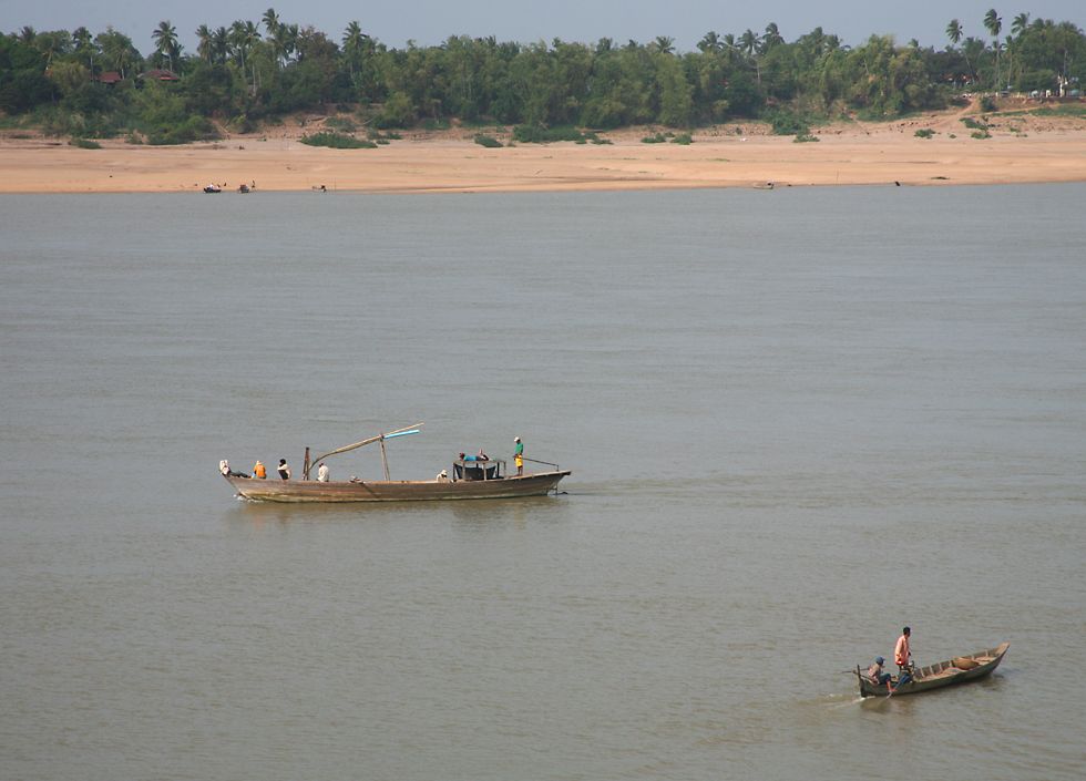
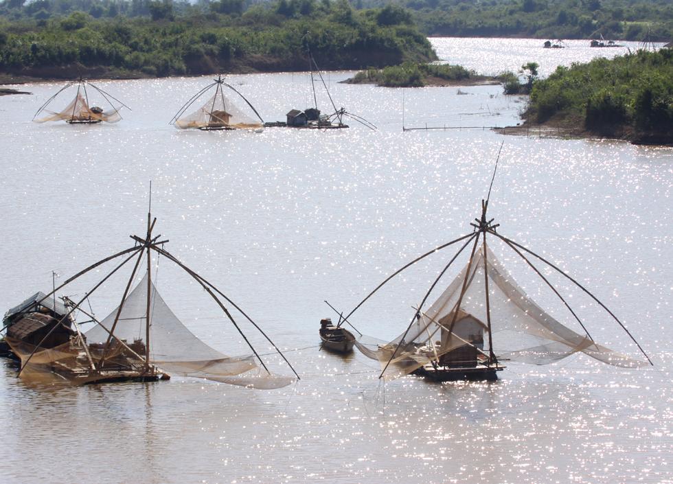
The Mekong has always been a central part of life in Cambodia, a vital artery for travel especially when the wet season makes roads impassable, a reliable source of water both for drinking and for agriculture, and also a major source of food, with at least 1200 species of fish, some of which grow up to 3 meters in length and 300 kilograms in weight. This river scene is from the town of Kratie, which retains quite a bit of French colonial architecture and is popular with backpackers. I was less interested in Kratie than in the town of Kampi, about 15 kilometers north, where I went to see the rare Irrawaddy dolphins which spend the dry season there. I certainly got to see the dolphins, though they surface and dive again so quickly that it was very challenging to get a decent photo. |
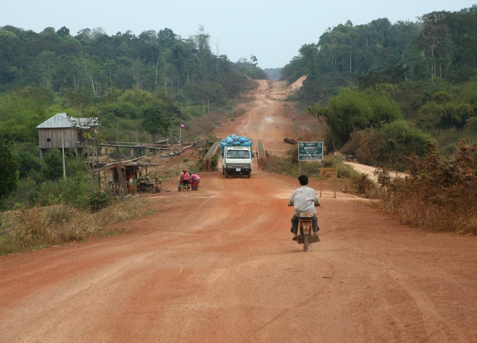
For an insight into how bad roads used to be everywhere in Cambodia, you need only visit the northern provinces near Thailand or Laos, or eastern provinces like Mondulkiri, near Vietnam. This is "highway" 76, an unsealed road which branches off from highway 7, which is now sealed all the way from Siem Reap to Kratie. Highway 76 might look bad, but it's far better than another numbered highway which doesn't even appear on most maps I've seen since - after about ten kilometers on that road I turned back and took the advice of some locals to use this road. In places highway 76 was literally covered in dust to a depth of one or two centimeters, so on arrival in the provincial capital of Sen Monorom, all my clothing and camera equipment in the trunk of the car also had a coating of red dust. On the few occasions when someone overtook, I had to pull over for a few minutes so I'd wouldn't have to drive completely blind in a cloud of dust! As you can see, there's a fair bit of forest left and the population density is a lot lower than other parts of the country. For a wildlife enthusiast like myself it's sad to know that Cambodia is one of the most heavily deforested countries in the world, largely as the result of a unscrupulous grab for cash by politicians, well-connected businesspeople and even the military. There are some protected areas, but the protection is often limited and it's often difficult to even visit - a bit further down this road I tried to go into the Snuol wildlife sanctuary, but they don't allow visitors. However I did see quite a bit of wildlife along the road, including a variety of colorful birds and a troop of some rather colorful primates, which at a glance looked rather like baboons. |
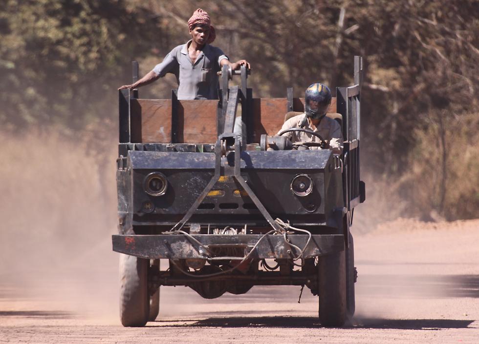
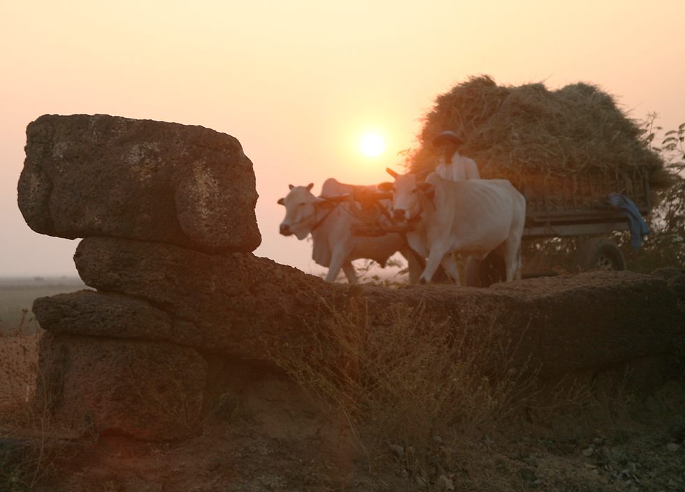
I've driven quite a bit in south-east Asia, but Cambodia had by far the worst roads, beating even Indonesia by quite a margin. The last time I was in Indonesia I got three flat tires in about three weeks, but in about the same period in Cambodia I managed to get six flat tires! I even had to buy four tires during the trip, three used and one new, because I damaged the other tires so badly. Luckily, it was fairly easy to spot the tire store in a town by the pile of tires lying out on the road next to a tub of water for finding leaks! The variety of other traffic on the roads also made driving a challenge. I'd never seen this sort of cabless truck before, though I was impressed that so many of the drivers went to the bother of wearing a helmet. A more pressing danger came at dusk when farmers were heading home on carts pulled very slowly by agricultural engines, which I assume are used not just for transport but also for hooking up to farm machinery like threshers. With no lights, there was a very real danger of driving straight into the back of them at a big speed differential. |
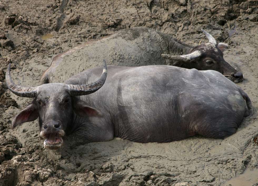
Domestic animals are another major hazard. I was impressed that the local dogs, cattle and water buffalo all seemed to have a good sense of how to handle themselves on the road, but it was still important to be cautious, especially since the animals were often on their own without a human minder. Again, this was a particular hazard at night when the cattle and buffalo were making their way back from the fields to their owner's home. Usually they did this while there was still some light, but I did have a close encounter with a cow shortly after it had become dark, which resulted in me smacking the cow's face with my side mirror. The noise and shock for both me and the cow were probably the worst part of the experience, and it seemed as if both the mirror and the cow's face got off lightly. |
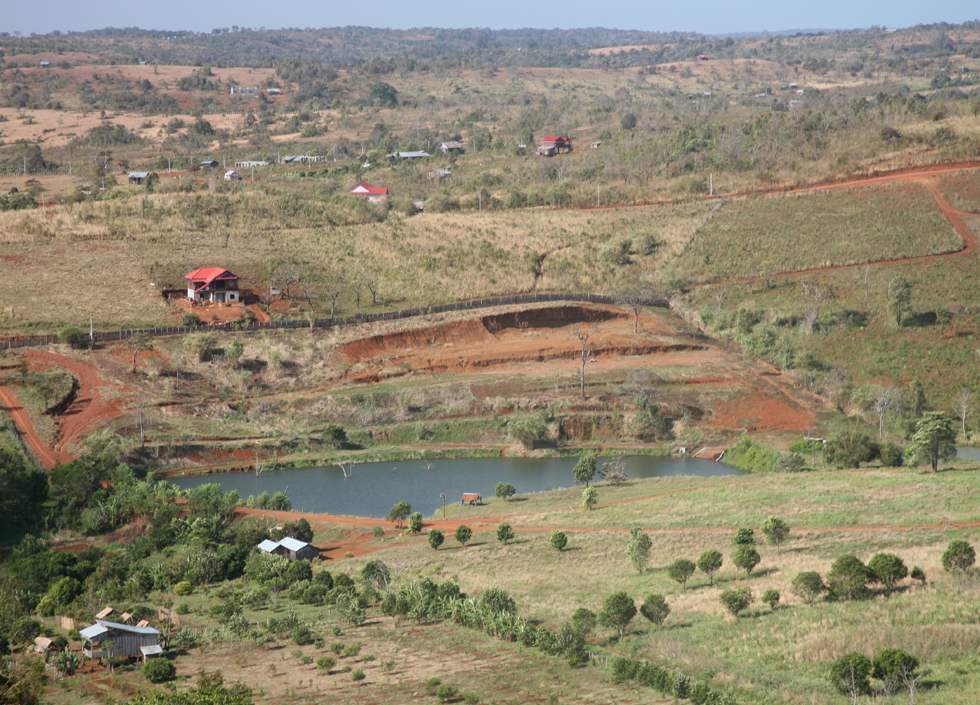
Sen Monorom is sometimes called the Switzerland of Cambodia, with hills, two small lakes and a large number of domestic tourists who take advantage of its cooler climate. It's the largest town in Cambodia's largest province, but as you can see, its 7000 inhabitants have a way to go before they can rival their European counterpart. Still, it's a good base for exploring the surrounding area, with plenty of guesthouses and other tourist infrastructure. The terrain around the town is very different from most of Cambodia, with rough grasslands and pine trees, but if you go ten or twenty kilometers out of town you'll find very nice forest. |
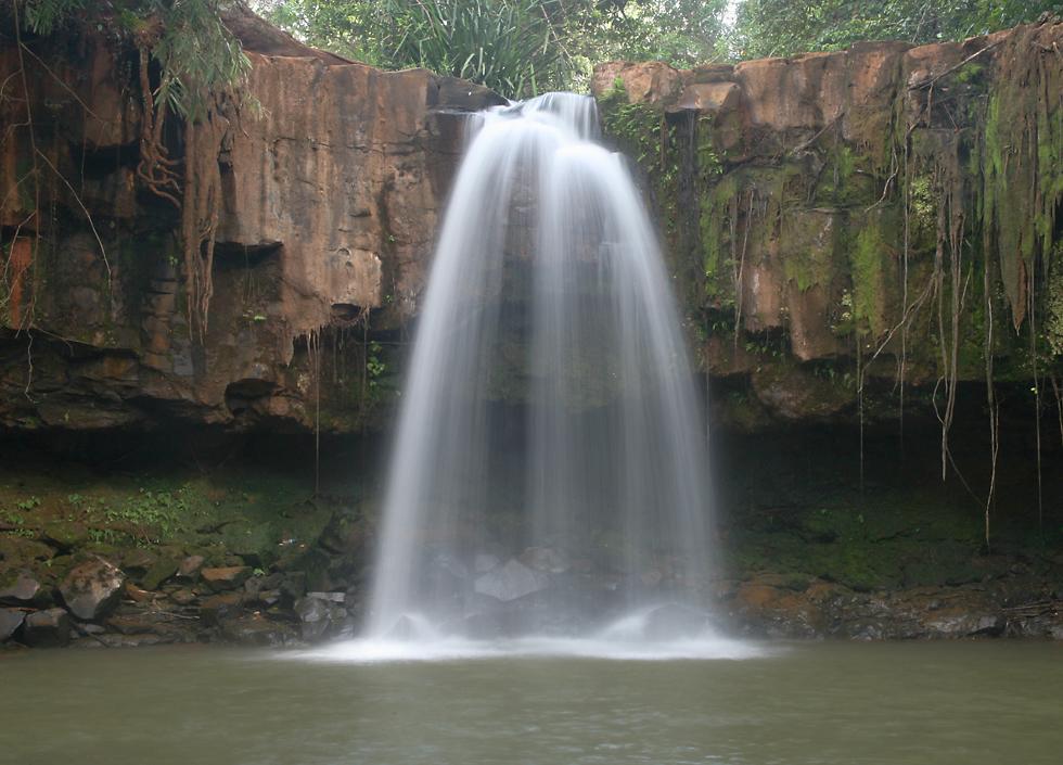
Monorom waterfall is quite close to town, but the maze of roads and lack of signposts makes it about as hard to find as Ang Trapeng Thmor. The waterfall itself is nice, but the area around the waterfall isn't exactly inspirational, with a Japanese sponsored hydroelectric plant just upstream and little in the way of facilities to make anyone want to sit around or explore. |
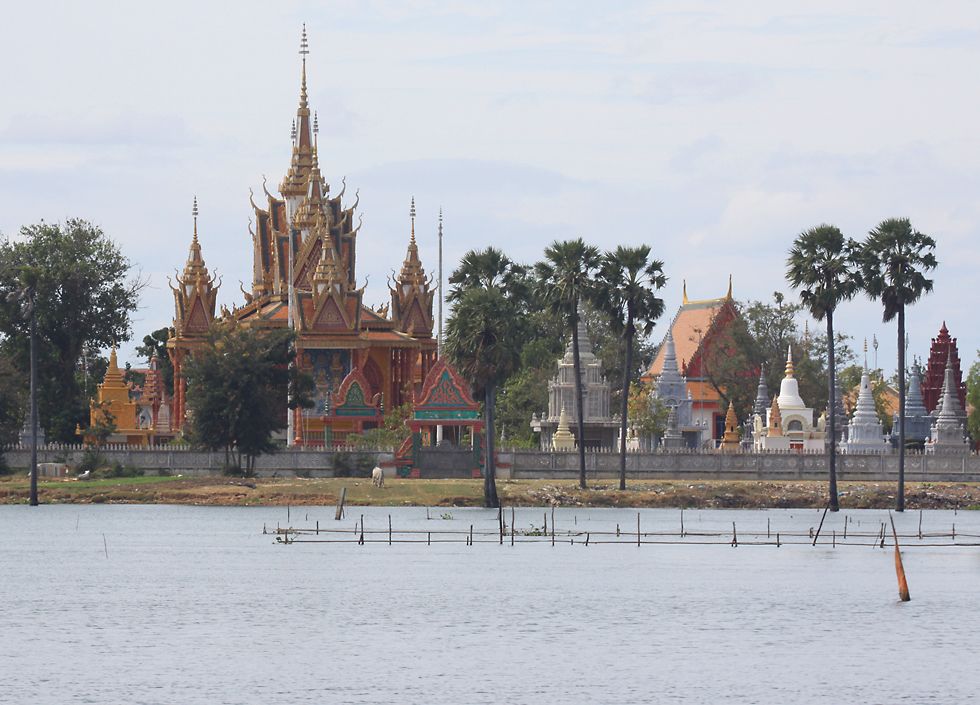
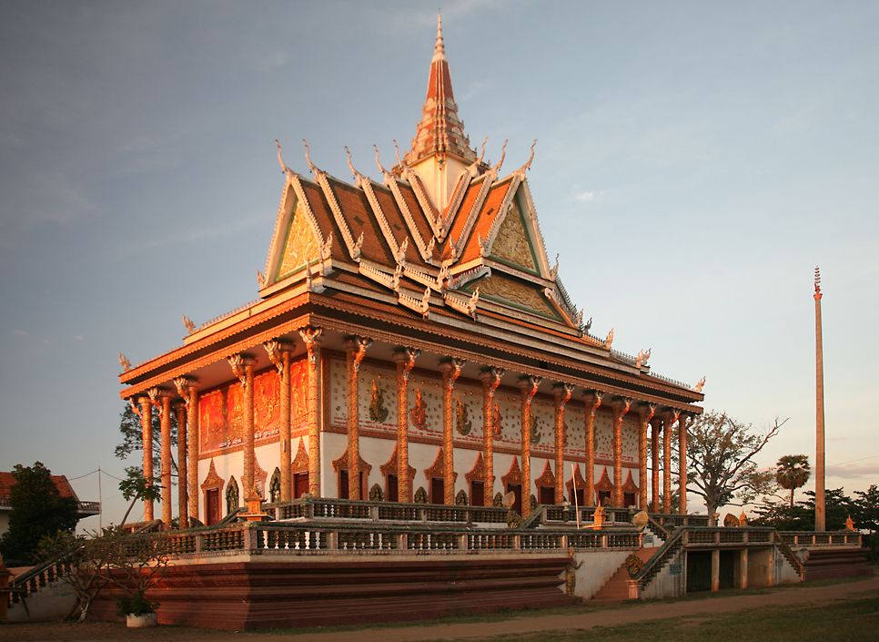
Even more than Thailand, Cambodia seems to be a land of buddhist wats and temples, like this one on national highway 5. The large and beautiful buildings are all the more remarkable considering the poverty of the people, and it's also surprising considering the fact that the current Cambodian People's Party is basically still the same government that the Vietnamese communists installed after they invaded in 1979 and toppled the Khmer Rouge. The monks are obviously popular with the common people, and apparently they represent no threat to the government, so they're tolerated. Communist governments from China to Vietnam and Cambodia have made a remarkable transformation from their original principles, and nowadays their self-serving nature and lack of concern for the welfare of the environment and the proletariat would make many a predatory capitalist wince in discomfort. |

Here's another very ornate temple, with a fine collection of statuary. As well as the dragon, you can make out other mythical creatures near the entrance, alongside a tiger and a very scrawny looking monk, who apparently hasn't heard of Buddha's "third way". |
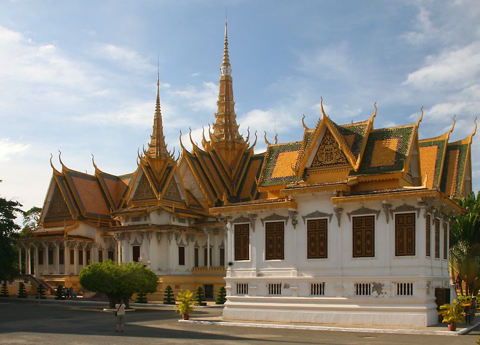
The royal palace is the most attractive sight in the capital. Inspired by the Grand Palace in Bangkok, the royal palace in Phnom Penh has several attractive buildings scattered around park-like lawns. It's not as spectacular as its equivalent in Thailand, and I was disappointed by the silver pagoda. It's not permitted to take photos in the pagoda, but I'm not sure I would have wanted to, anyway. |
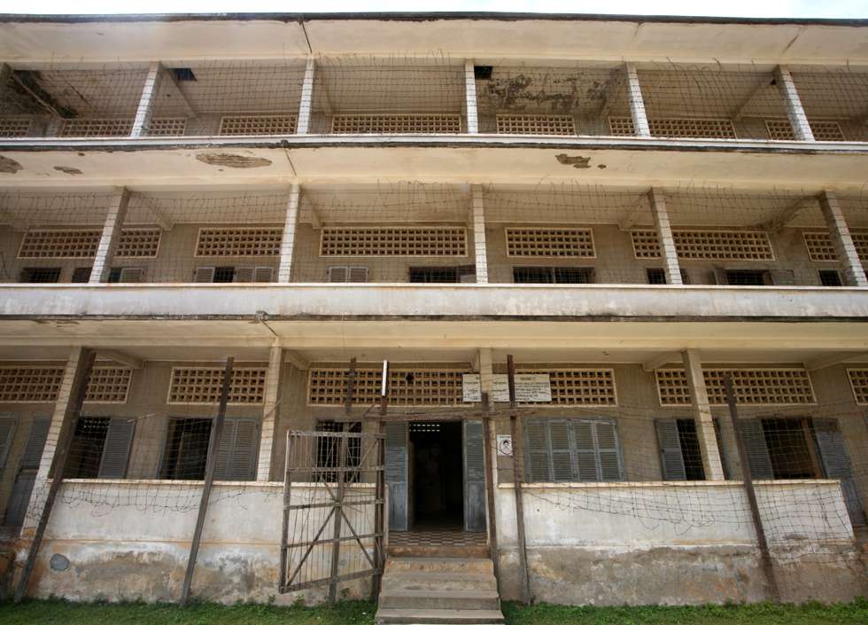
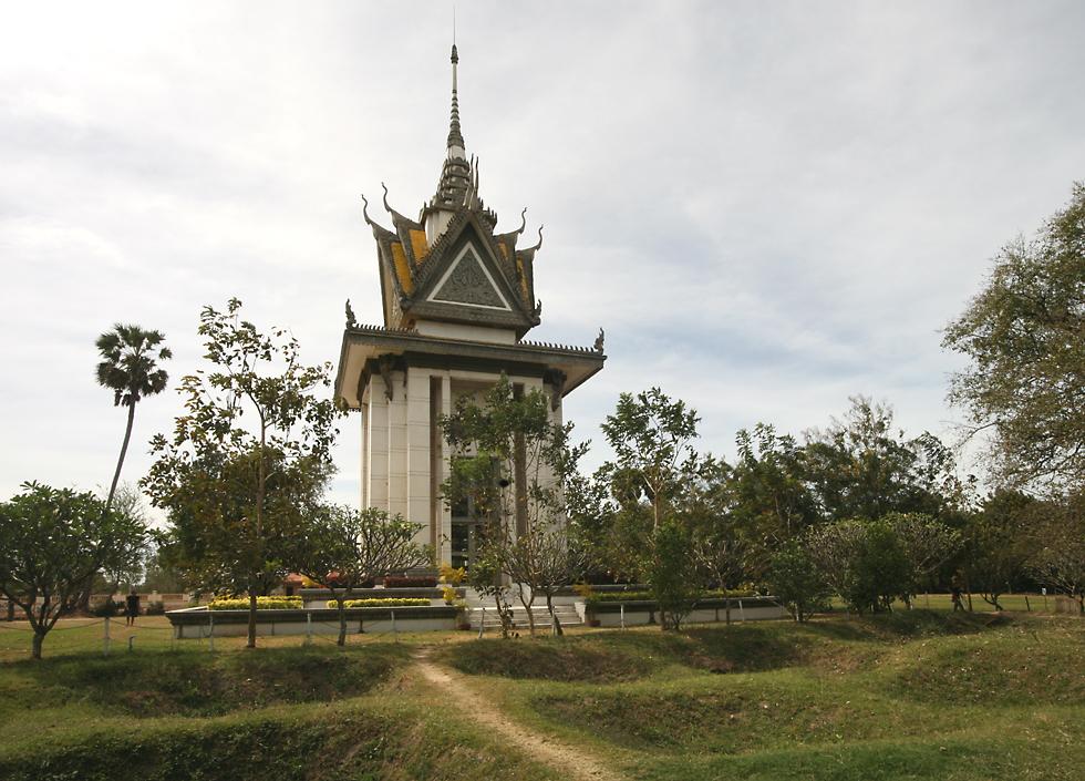
Cambodia is perhaps best known as the site of one of the great tragedies of the 20th century, the mass butchery perpetuated by the ultra-communist Khmer Rouge government, led by one of the most infamous dictators of all time, Pol Pot. The Tuol Sleng detention center, otherwise known as S-21, was formerly a high school until the Khmer Rouge took control and turned it into one of 196 similar prisons. At any one time between 1000 and 1500 prisoners were kept here while being tortured and interrogated. Somewhere between 17,000 and 20,000 people were imprisoned here and all but 12 were killed. Many were either children or very old, but they were treated with utter ruthlessness. The school rooms were divided with very crude brick walls into smaller cells and electrified barbed wire was used to prevent prisoners from escaping or attempting suicide. Confessions, often with absurd and lurid details, were extracted under torture, as were names of other people supposedly involved in the conspiracies. Many of the guards and torturers themselves became victims in the same place, after violating the strict rules of the prison. As well as the buildings, the Tuol Sleng genocide museum contains photographs of some hundreds of the victims, skulls showing the types of injuries inflicted, instruments of torture and some clothing belong to those killed. |
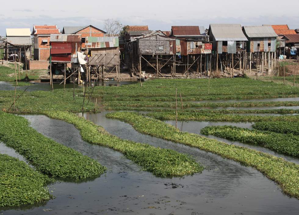
Thirty years after the nightmare of Pol Pot, there's still plenty of poverty. Life has certainly improved for most people, but government corruption adds a great deal of unnecessary suffering for ordinary people, who often lack the most basic services while moneyed families drive around in the country's many pimped-out Lexus SUVs. In the countryside, poverty can have a pleasant external appearance, but in a city like Phnom Penh it usually reeks of squalor, even if economic conditions here are actually better than in rural areas. The rows of plants growing in the water here are called "morning glory", in the west they're cultivated as an attractive flower (or cursed as a weed) but here it's eaten as a vegetable, and often makes an appearance on restaurant menus. Since the houses lack even basic plumbing, these plants are actually growing in untreated sewage, something to consider when you order your next meal! |
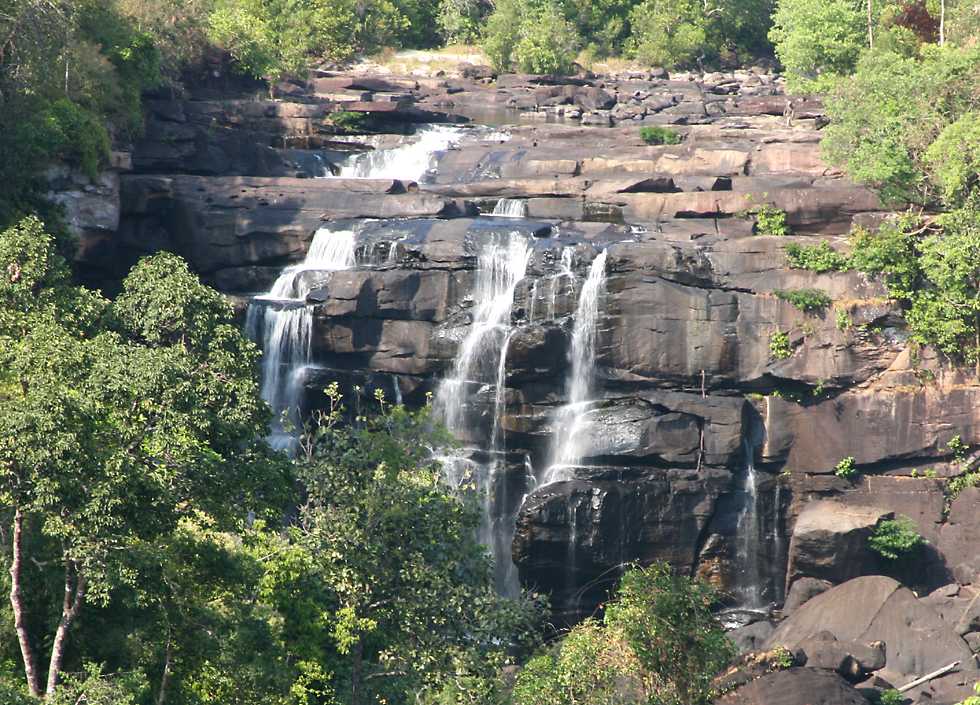
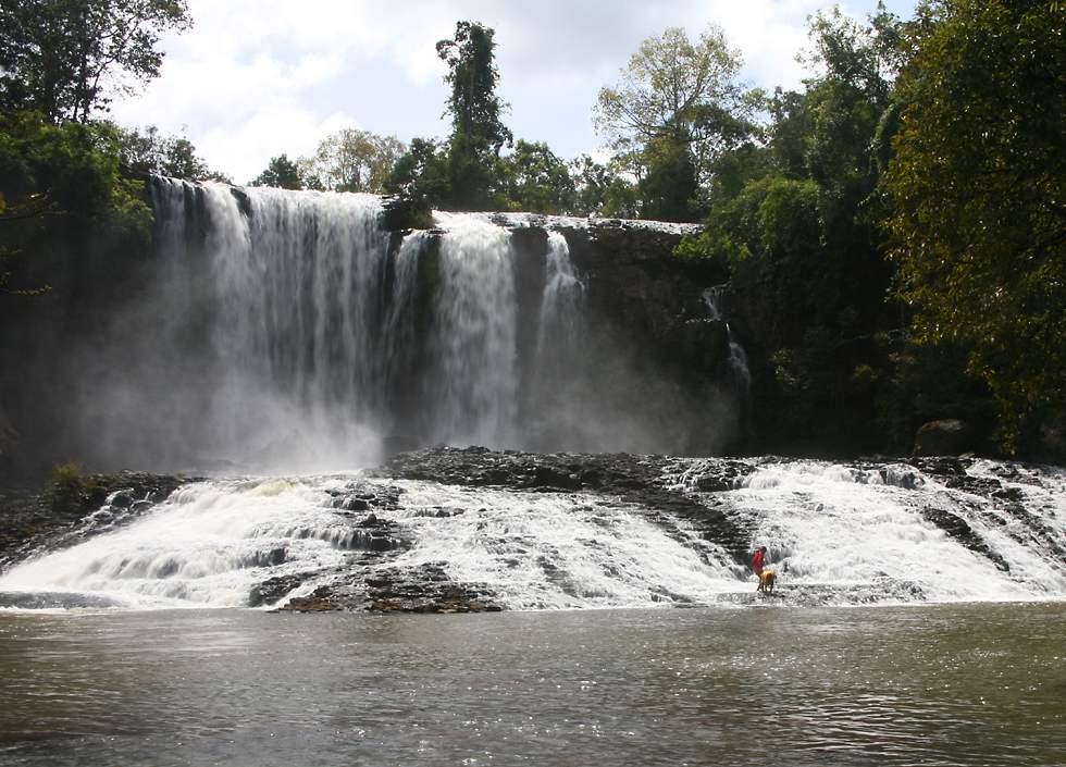
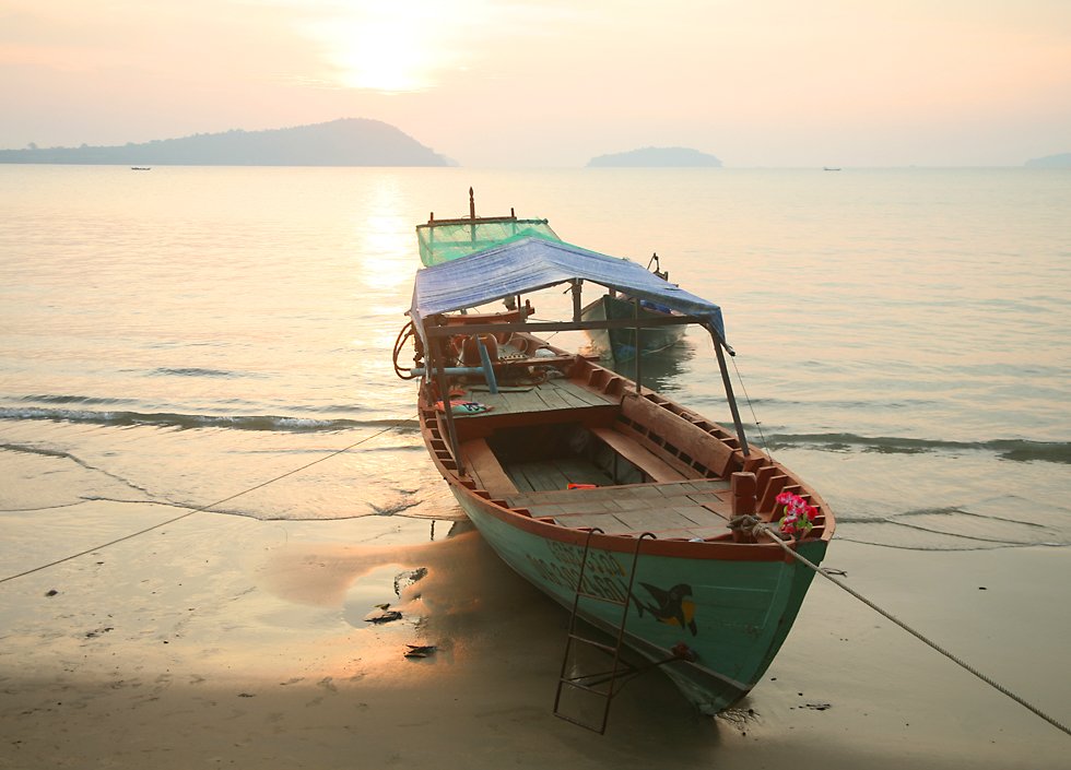
I headed south to the coastal town of Kampong Som, also called Sihanoukville after Prince Sihanouk, though personally I don't feel he deserves such an honor. The original plan had been to go diving here straight after arriving in Cambodia, but I realized on the day I left Los Angeles that I had a head cold, so I drove up to Siem Reap instead and had a week of cloudy weather! When I did arrive in Kampong Som, the relentlessly windy weather forecast for my final week made diving impossible, so I concentrated on terrestrial activities. I started with a short distance walk into Ream national park where I came across a nice tarantula sitting in the open during the daytime, a very unusual occurence. It's compulsory to pay for a ranger to go with you, which I didn't mind since he spoke reasonable English and I saw it as a way for me to benefit the local populace in a way which preserves everyone's dignity. Back at the ranger station I told them I was interested in going west into Koh Kong province and seeing some of the sights there, so I arranged to pay the ranger $25 a day, plus his bus fare back from the town of Krong Koh Kong, which is right on the Thai border. Chheang Peal Rong waterfall is near the town of Sre Ambel, so we asked directions at a simple restaurant where we had lunch about how to get there. We were told that it wasn't possible to drive a car there, and arranged for the ranger, myself and a driver to go on the back of a 100cc motorbike up to the waterfall. He told us that it was 6 kilometers, but it was more like 12 or 15. It was certainly true that a car couldn't make it, not only was the gravel road potholed, there were quite a few occasions when we had to get off the bike and walk down small gullies to get around a break in the trail. Some of the bridges were nothing more than small logs placed next to each other, forcing us to walk once again. For the last 45 minute stretch we had to leave the bike behind and walk up a steep dirt trail which was totally exposed to the scorching sun. The waterfall consists of several tiers, this one being the topmost. If you look closely you'll see a man in the top, right-hand corner of the shot walking towards the drop, so you can get some sense of scale. It would certainly be an awesome sight in the wet season, but it would be impossible to get there because of the state of the path! |
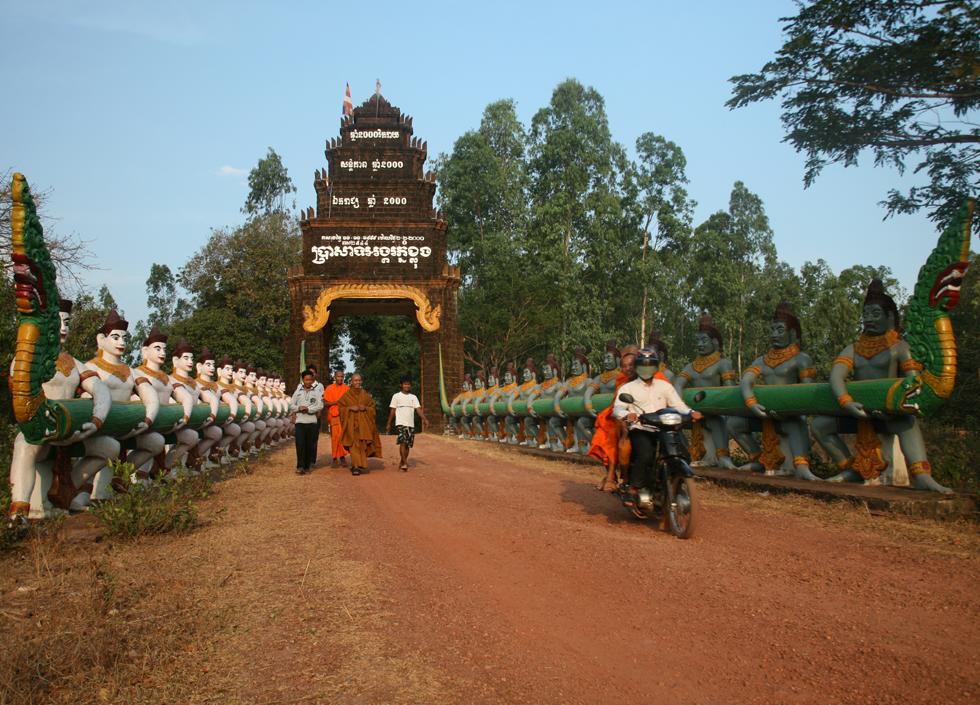
For me, the main attraction of Koh Kong was the large Botum Sakor national park, where I hoped to spend a couple of days. The ranger at Ream made several phone calls and it seemed like he and I were all set to stay in the park, but when we got there that turned out not to be the case, so we continued on to the town of Krong Koh Kong. The road was fairly good, but there were some serious potholes at intervals along it, which caused me another flat tire. I had to make a detour off the main road to a small town to buy a used replacement tire, and that's where I came across this Buddhist monastery. Apart from the motorbike, the entrance to the monastery is very similar to the entrance gate of Angkor Thom and entrances to some of the temples at Angkor. They all depict a Hindu myth called "the churning of the sea of milk", in which Vasuki, the king of serpents, is wrapped around Mount Mandaranchal, which is resting in an ocean of milk. Gods holding one end of Vasuki alternately pull against demons holding the other end, causing the mountain to rotate and churn the milk. You might expect that this would create butter, but in the story it produces the nectar of immortality. I had to visit this town twice, on my way to Krong Koh Kong and on my way back, because I got a flat tire going both ways! |

The town of Krong Koh Kong was a bit of a disappointment, though I did take a mildly entertaining boat trip through the mangrove forest of Peam Krasaop wildlife sanctuary. New Zealand has plenty of mangroves, so for me it's no great thrill to see them, but you can see some cheeky long-tailed macaques (otherwise known as crab-eating macaques) here - one of these monkeys even stole a bun from someone at the restaurant where I had lunch! There's also a village built on stilts some distance out from the mainland, and it's interesting to see people going about their lives in such a novel environment. |
